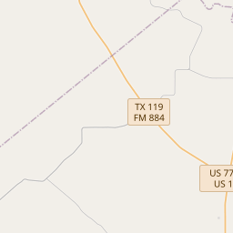
El Camino Real in Victoria County
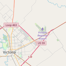
Historical marker location: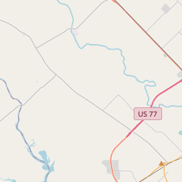

THE CAMINO REAL (ROYAL ROAD), ALSO KNOWN AS THE KING’S HIGHWAY, WAS A SERIES OF ROUTES LINKING SPANISH MISSIONS AND PRESIDIOS IN TEXAS AND LOUISIANA. BEGINNING IN 1725, THE SPANISH EMPLOYED ONE SUCH ROADWAY, THE LOWER CAMINO REAL, THAT WENT THROUGH PRESENT-DAY VICTORIA COUNTY. AT FIRST, A ROAD DEVELOPED TO SUPPLY PRESIDIO NUESTRA SEÑORA DE LORETO, ALSO KNOWN AS LA BAHIA, WHICH WAS ESTABLISHED IN 1721 ATOP THE BURNED REMAINS OF LA SALLE’S FORT ST. LOUIS. IN 1725, DUE TO THE LACK OF FRESH WATER, TIMBER, AND BUILDING STONES, AND ATTACKS BY THE UNPREDICTABLE KARAWANKA INDIANS, THE PRESIDIO MOVED INLAND TO TONKAWA BANK, A HIGH BLUFF ON THE GUADALUPE RIVER IN PRESENT-DAY RIVERSIDE PARK IN VICTORIA. THE NEXT YEAR, BOTH IT AND THE RELATED MISSION, NUESTRA SEÑORA DEL ESPIRITU SANTO DE ZUÑIGA, MOVED FURTHER UPSTREAM, 7 MILES NORTH OF PRESENT-DAY VICTORIA. IN 1727, IT WAS DETERMINED THAT THE GUADALUPE WAS IMPASSABLE, NECESSITATING THAT SUPPLIES BE BROUGHT OVERLAND FROM BEXAR TO THE SITE VIA A ROAD ESTABLISHED BY CAPTAIN JUAN BUSTILLO Y CEBALLO. HIS ROAD WAS A PRECURSOR TO THE BEXAR-LA BAHIA-NACOGDOCHES ROAD.
SOLDIERS FROM THE PRESIDIO LA BAHIA USED THIS ROUTE WHEN ASSIGNED TEMPORARILY TO POSTS ELSEWHERE. OTHERS USED THE ROAD, INCLUDING PRIESTS, SOLDIERS, AND SUPPLY TRAIN ESCORTS, WHO USED THE DETOUR BY 1731 TO AVOID APACHE RAIDERS IN AND AROUND SAN ANTONIO. IN 1749, PRESIDIO LA BAHIA AND MISSION ESPIRITU SANTO MOVED A FINAL TIME, TO THE SAN ANTONIO RIVER SOUTH OF PRESENT-DAY GOLIAD. THE ROAD THROUGH VICTORIA COUNTY CONTINUED TO BE USED FOR THE NEXT CENTURY. THE GUADALUPE RIVER SITE IS REFERRED TO ON SPANISH MAPS AS “RANCHO VIEJO.” THE LOWER CAMINO REAL WAS A VITAL LINK BETWEEN BEXAR AND EAST TEXAS, DURING WHICH TIME THE PRESIDIO LA BAHIA AND MISSION ESPIRITU SANTO PLAYED PIVOTAL ROLES FOR THE SPANISH
As one of the most visible programs of the Texas Historical Commission (THC), historical markers commemorate diverse topics in Texas history, including: the history and architecture of houses, commercial and public buildings, religious congregations, and military sites; events that changed the course of local and state history; and individuals who have made lasting contributions to the state, community organizations, and businesses.
The Texas Rangers, a famous law enforcement agency, were first organized in 1835 to protect settlers from Native American attacks.
In the early 19th century, Anglo-American settlers began to move into the area, attracted by the fertile land for agriculture and the potential for ample grazing. The Mexican government encouraged colonization, and by 1834, there were around 100 families living in the region. However, tensions between the settlers and the Mexican government eventually led to the Texas Revolution in 1835.
During the Texas Revolution, Victoria became a strategic point for both the Texian and Mexican armies. The Battle of Guadalupe River occurred here in 1835, where the Texian rebels under the command of George Collingsworth captured the Mexican garrison without bloodshed. The town of Victoria formally became the capital of the Republic of Texas in 1839 before it was moved to Houston and later Austin.
In the late 19th and early 20th centuries, Victoria County experienced significant growth and development. The railroad arrived in the late 1800s, leading to increased trade and the expansion of the local economy. The discovery of oil in the early 20th century further contributed to the county's prosperity. Today, Victoria County is a thriving hub for agriculture, oil and gas production, and serves as a regional center for healthcare, education, and businesses.
Victoria County Timeline
This timeline provides a glimpse into the major events and milestones that have shaped the history of Victoria County, Texas.
- 1824 - Victoria County is established as a Municipality of Mexico
- 1836 - Texas gains independence from Mexico
- 1837 - Victoria County is created as an original county of the Republic of Texas
- 1852 - The town of Victoria becomes the county seat
- 1860 - Population of Victoria County reaches 2,305
- 1874 - The Texas Mexican Railway expands into Victoria County, stimulating economic growth
- 1899 - Oil is discovered in the county, leading to a boom in the petroleum industry
- 1924 - The DuPont Company establishes a plant in Victoria County, contributing to industrial development
- 1930 - Population of Victoria County exceeds 30,000
- 1952 - The O'Connor-Proctor Building, the first air-conditioned building in town, is constructed
- 1960 - Victoria County Courthouse is added to the National Register of Historic Places
- 2008 - Hurricane Ike causes extensive damage to Victoria County
- 2019 - Victoria County celebrates its 182nd anniversary