Mill Creek Cemetery
Historical marker location: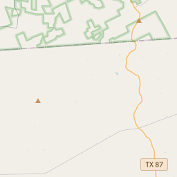
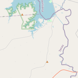
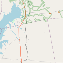
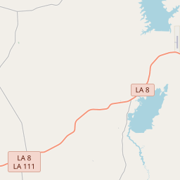

Settlers to this area crossed from Louisiana into Texas near Toledo Bend on the Sabine River. Along Mill Creek, they established a community and this cemetery. Dating to the early 1840s, the first marked grave is that of Tandy Key Martin. The cemetery's more than 50 unmarked burials indicate the harsh conditions and poverty faced by area families. During the 20th century, many left Mill Creek for other jobs. Descendants of those buried here joined in an association in the 1980s to preserve this link to their heritage. Historic Texas Cemetery - 2004
As one of the most visible programs of the Texas Historical Commission (THC), historical markers commemorate diverse topics in Texas history, including: the history and architecture of houses, commercial and public buildings, religious congregations, and military sites; events that changed the course of local and state history; and individuals who have made lasting contributions to the state, community organizations, and businesses.
The first domed stadium in the world, the Astrodome, was built in Houston in 1965 and hosted numerous sporting events and concerts over the years.
In 1836, Newton County was officially established and named after John Newton, a hero of the American Revolutionary War. The county's geographical location, with its fertile land and proximity to major waterways, attracted many settlers, particularly from Southern states. The region's economy was largely based on agriculture, with cotton and timber being major industries.
During the late 19th and early 20th centuries, the discovery of oil and gas brought prosperity to Newton County. The oil boom transformed the county, attracting numerous oil companies, creating jobs, and boosting the local economy. However, the boom eventually declined, leading to a shift back to agriculture and timber as the primary sources of income.
Throughout its history, Newton County has been shaped by both natural and man-made disasters. The county has been prone to hurricanes and floods, with devastating effects on the community. In recent years, efforts have been made to implement flood control measures and improve disaster preparedness.
Today, Newton County remains a rural area with a population that values its rich history and natural beauty. It continues to be a place of agriculture, timber, and outdoor recreation, attracting visitors with its scenic landscapes and wildlife. The county's history and resilience serve as a reminder of the challenges faced by its residents and the strength of the community.
Newton County Timeline
This timeline provides a glimpse into the major events and milestones that have shaped the history of Newton County, Texas.
- 1846 - Newton County is established by the Texas state legislature.
- 1870s - The county experiences growth due to the expansion of the lumber industry.
- 1904 - A devastating fire destroys a significant portion of the town of Newton.
- 1907 - Bon Wier is established as a sawmill town.
- 1930s - The Great Depression brings economic hardship to the county.
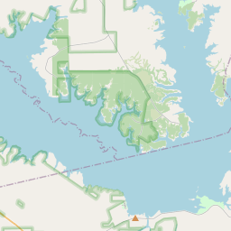
- 1940 - The Toledo Bend Reservoir is constructed, resulting in the flooding of parts of Newton County.
- 1960s - The construction of the Toledo Bend Dam leads to increased tourism and recreational activities in the county.
- 1990s - Newton County experiences population growth due to its proximity to the Toledo Bend Reservoir.
- 2005 - Hurricane Rita causes significant damage to the county.